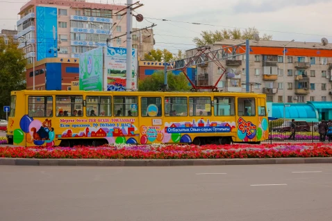
#Ereimentau
Ereimentau is a city in the Akmola region, the administrative center of the Ereimentau district (since 1954), and a railway station. The city is located in the steppe zone with red and black soils, on the northwestern slope of Ereimentau Mountain, where grasses such as betega, boz, oats, cereals, and airauyk grow. The republican highway Astana-Pavlodar passes through Ereimentau.
Ereimentau is located in the northern part of Saryarka, in a mountainous and forested area. This territory lies within the Akmola and Karaganda regions. The absolute height is 901 m (Mount Akdín). The mountain range stretches from southwest to northeast for 100 km, with a width reaching 30 km. The mountain range serves as the watershed for the Ölentі and Şіdertі rivers. The tributaries of the rivers Zharıq, Qarasu, Oljabay, and Turğynbay originate from the mountain slopes. In the mountain valleys, healing salty and fresh lakes and springs (Taybay) are often found.


